Geographic Information Systems
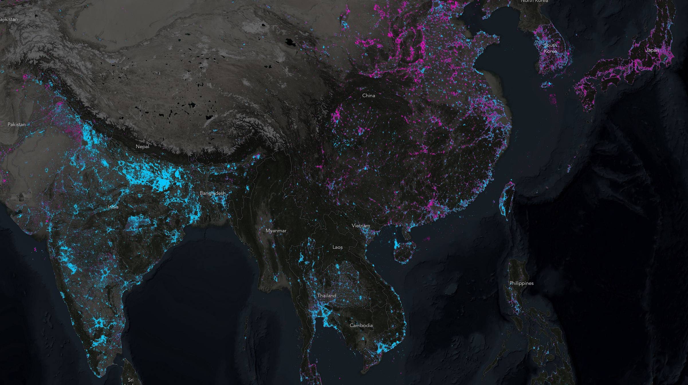
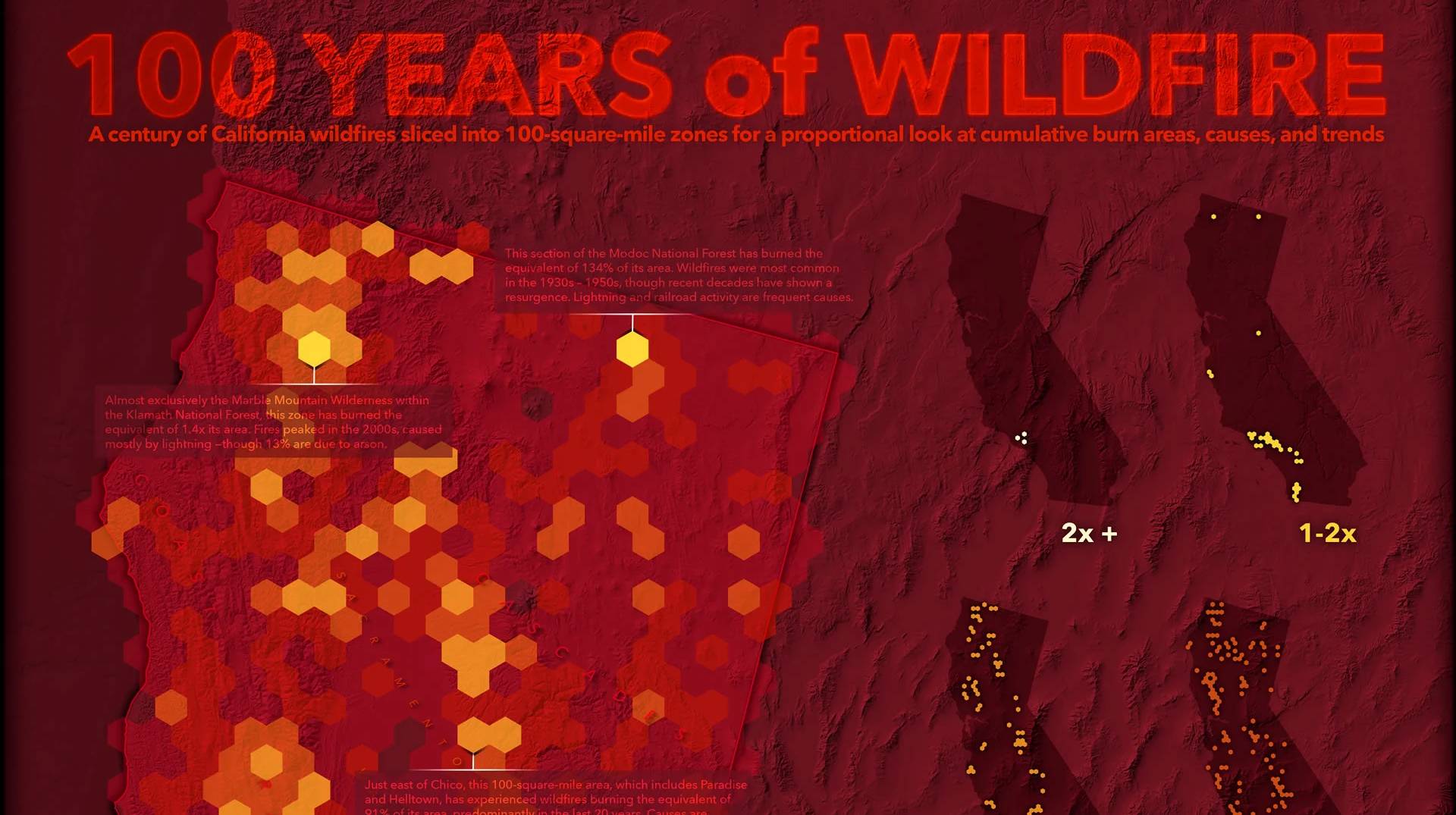
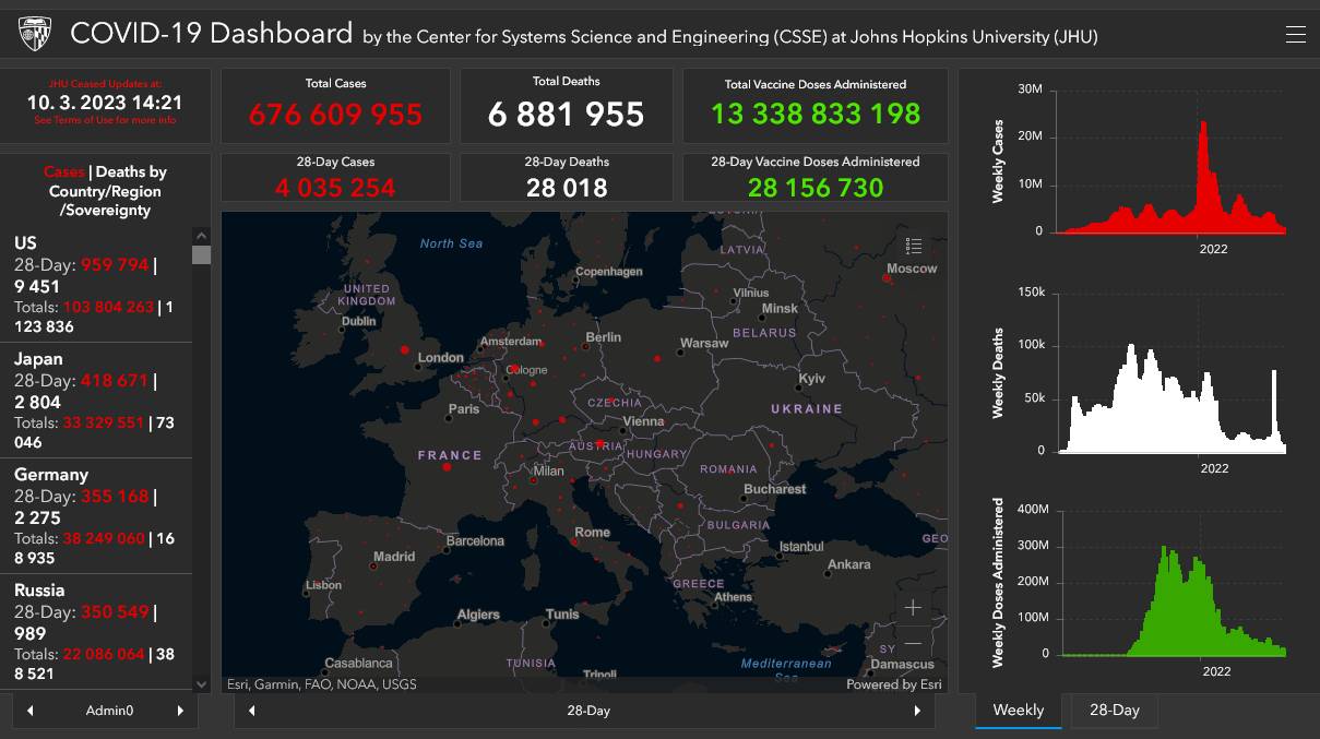
This course will introduce you the basics of geographic information systems (GIS). GIS is a set of tools used to collect, manage, analyze and visualize geographic data. It allows you to work efficiently with spatial information, which includes maps, satellite images, postal addresses, topographic data and much more. It can perform complex analyses, identify patterns, and thus better understand geographic phenomena and relationships.
GIS has a wide range of applications, from urban planning to natural resource management and crisis management. It is an indispensable tool for effective decision-making and management in various sectors and helps to better understand complex geographical contexts.
This course is an intro to this topic. While the lectures take you through the basic theory, the practicals focus on the practical use of GIS software - in particular, understanding how to work with data and perform simple analyses. Esri ArcGIS Pro software is used throughout the course.
What will you learn
-
process and analyze spatial (geographic, map) data
-
understand the difference between vector and raster data
-
filter data using attribute and spatial queries
-
apply basic spatial functions (geoprocessing tools)
-
create and edit GIS data
-
share data to the web (ArcGIS Online system, web mapping applications)
Lectures & Practicals
attendance recommended
 Mgr. Petra Justová, Ph.D.
  Ing. Jan Koudelka
  Ing. Josef Münzberger
| Date | Topic | Lecturer | Assignment |
|---|---|---|---|
| 21.09. | Course introduction, ArcGIS Pro basics, spatial data, attribute table | JM | |
| 28.09. | — no class — | — | — |
| 05.10. | Map Projections in Detail | JK | Assignment 01 · due 18/10 |
| 12.10. | Vector data (attribute and location queries) | PJ | Assignment 02 · due 25/10 |
| 19.10. | Join external data, Data sources, Spatial join | PJ | |
| 26.10. | Geocoding | JM | |
| 02.11. | Raster data, Georeferencing, Editing and Creating Vector Data | PJ | Assignment 03 · due 15/11 |
| 09.11. | Geoprocessing tools | PJ | Assignment 04 · due 22/11 |
| 16.11. | — no class — | — | — |
| 19.11. | Elevation models (DEM, DSM, DTM), Terrain analysis, Map Algebra | PJ | Assignment 05 · due 06/12 |
| 23.11. | ArcGIS Online introduction, VTSE, Web App Builders | JM | |
| 30.11. | Web map services, ArcGIS Online, web mapping applications (part 1) | JM | Assignment 06 · due 13/12 |
| 07.12. | Web map services, ArcGIS Online, web mapping applications (part 2) | JM | |
| 14.12. | Written exam | PJ, JM, JK |
Course conditions
- submission of all practical assignments (data layer or map (and technical report) in PDF format)
- written exam (min. 50% pts)
Learning resources
Literature
- Bolstad, P. (2005) GIS Fundamentals: A First Text on Geographic Information Systems. 2nd Edition, Eider Press, White Bear Lake, Minnesota.
- De Smith, M.J., Goodchild, M.F. and Longley, P.A. (2015) Geospatial Analysis A Comprehensive Guide to Principles, Techniques, and Software Tools.
- P. A. Burrough, Rachael McDonnell (1998) Principles of Geographical Information Systems. Oxford University Press.
Tutorials
- Learn ArcGIS Hub
- Esri Training Catalog
- MOOCs and Live Training Seminars
- Urban Planning, Design & Development Software
Schedule
winter semester 2026/2027