Geoprocessing tools
Geoprocessing tools in ArcGIS Pro are essential functions used to perform spatial analysis and data management tasks. They allow users to process geographic data through operations ranging from basic operations like spatial overlaying to advanced analyses such as terrain modeling. Each tool takes input data, applies a specific operation, and produces an output dataset that can be visualised or used for further analysis. Tools can be run individually from the Geoprocessing pane or combined into automated workflows using ModelBuilder or Python scripts. Geoprocessing is at the core of spatial problem solving, helping users transform raw geographic data into meaningful information and to reveal valuable insights by uncovering previously unseen spatial patterns and relationships.
Basic geoprocessing tools
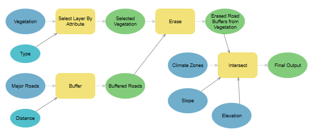
- buffer: Creates zones around input geographic features at a specified distance. These zones can be used, for example, to analyse the influence of a given feature on its surroundings.
- clip: Extracts portions of one dataset based on the boundaries of another. The output dataset contains only the areas within the clip extent.
- select: Allows you to select features from a dataset that meet specified conditions, such as attribute queries or spatial criteria.
- merge: Combines multiple input datasets into a single new output dataset. This tool can merge point, line, or polygon feature classes or tables.
- intersect: Combines two or more input layers and creates new features where their geometries overlap.
- dissolve: Aggregates features based on a specified attribute, reducing the number of features and creating larger units (e.g. merging polygons of the same type).
- spatial join: Combines attributes of two geographic layers based on their spatial relationship (e.g. attaching point data to nearby polygons).
- erase: Removes areas of one layer that overlap with another input layer, leaving only the remaining geometry.
- union: Combines the geometries and attributes of two or more layers into a new layer. The result includes areas representing the combination of all inputs.
- remove overlap: Identifies and removes overlapping areas between features within a single layer or among multiple layers.
- symmetrical difference: Creates a new layer containing features that are in either one or the other input layer, but not in their overlap.
- count overlapping features: Counts the number of overlapping features and stores the result in a new layer or attribute table.

Using geoprocessing tools
Geoprocessing pane
In ArcGIS, a toolbox is a container for organizing and storing geoprocessing tools. It's a way to organize and manage various geoprocessing tools and models in a structured manner. Toolboxes can be thought of as folders that hold a collection of related tools, scripts, and models, making it easier to locate and use them efficiently.

Batch Processing
Batch processing in ArcGIS is a time-saving technique where the same geoprocessing operation is applied to multiple datasets simultaneously.

ModelBuilder
ModelBuilder is a visual programming environment that allows users to create, edit, and manage workflows by stringing together a sequence of geoprocessing tools and operations. It provides a graphical interface for designing and automating complex geospatial analyses, making it easier for users to conceptualize, build, and share spatial models.
Python
Python can be used to automate the execution of geoprocessing tools as well as provide the ability to create your own geoprocessing tools, either as a script tool or as a Python toolbox tool.

Assignment 04
Noise map of Czechia
TASK:
Make a map showing two types of noise zones in Czechia. Distinguish the zones by noise level (increased vs. high) and by noise source (roads vs. airports vs. roads + airports).
Within Czechia, define areas of high and increased noise zones, according to the following criteria:
-
high-noise zone
- within a distance of 10 km from an airport
- within a distance of 3 km from highways
-
increased-noise zone
- at a distance of 10–20 km from an airport
- at a distance of 3–6 km from highways

In technical report answer following questions:
- What proportion of Czechia (in %) lies within the high-noise zone?
- What proportion of Czechia (in %) is affected by noise from both roads and airports?
- What proportion of Czechia (in %) lies within the normal-noise zone?
DATA SOURCES:
SUBMISSION FORM:
- technical report + map in PDF format (submit by 23/11, send to petra.justova@fsv.cvut.cz)
INSTRUCTIONS:
- Create buffers around airports and roads according to the specified criteria (Buffer)
- Create a layer in which noisy areas are geometrically distinguished by noise level (increased vs. high) and by noise source (roads vs. airports vs. roads + airports) (Union, Dissolve)
- Clip layers to the boundaries of Czechia (Clip)
- Set the symbolization of all layers properly.
- In New Layout (A4 Landscape) insert the Map Title, Scale and Credits.
- Export Layout in PDF Format