Cartography
Cartography has a wide range of applications, especially in combination with other disciplines such as urban planning, demography and statistics, environmental sciences, economics, crisis management, etc. It is a valuable tool for the effective transfer of spatial information to better understand complex geographical contexts.
This course introduces students to the basics of mathematical, topographic and thematic cartography. It also includes an excursion into polygraphic techniques, theory of colour, copyright and editorial works. The main goal is to teach the students the theory and practical issues of cartographic science, making them able to create a quality thematic, topographical or schematic map, understand the principles of their creation, the correct use of colours, fonts, etc.
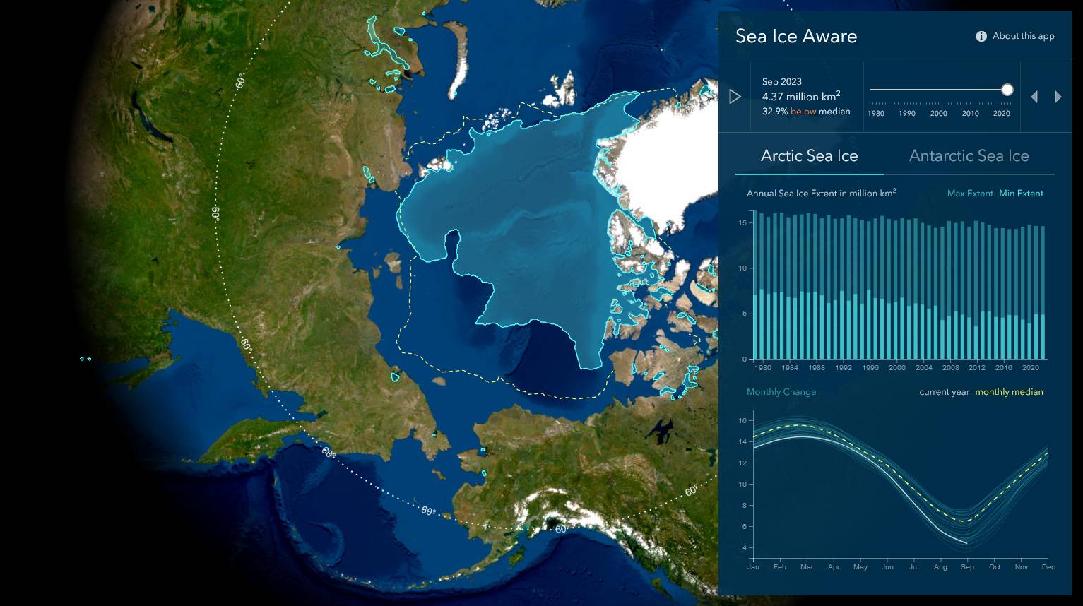
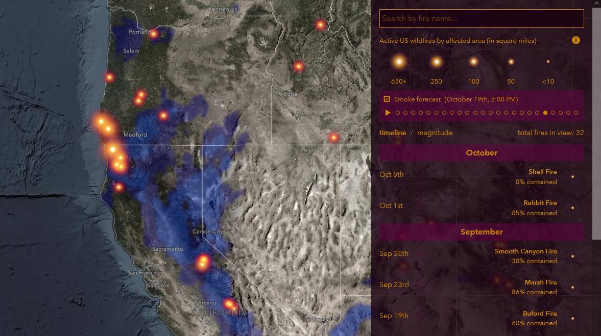
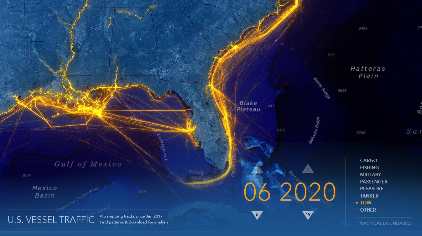
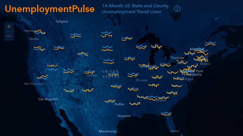
Esri ArcGIS Pro software is used throughout the course.
Literature
- Brewer, C.A. (2015) Designing Better Maps: A Guide for GIS Users. 2nd Edition, Esri Press, Redlands, California.
- Dent, B.D., Torguson, J.S. and Hodler, T.W. (2009) Cartography: Thematic Map Design. 6th Edition, McGraw-Hill Higher Education, Boston.
- Field, K. (2018) Cartography: A Compendium of Design Thinking for Mapmakers. Esri Press, Redlands, California.
- Field, K. (2022) Thematic Mapping: 101 Inspiring Ways to Visualise Empirical Data. Esri Press, Redlands, California.
- Kraak, M.J. and Ormeling, F.J. (2010) Cartography: Visualization of Spatial Data. 3rd Edition, Pearson Education, Harlow.
- Lambert, N. and Zanin, C. (2020) Practical Handbook of Thematic Cartography: Principles, Methods, and Applications. 1st Edition, CRC Press, Boca Raton, Florida.
- Slocum, T.A., McMaster, R.B., Kessler, F.C. and Howard, H.H. (2009) Thematic Cartography and Geovisualization. 3rd Edition, Pearson Prentice Hall, Upper Saddle River, New Jersey.
Lectures
attendance recommended
- Introduction to the course
- Mathematical cartography
- Map language, content and composition
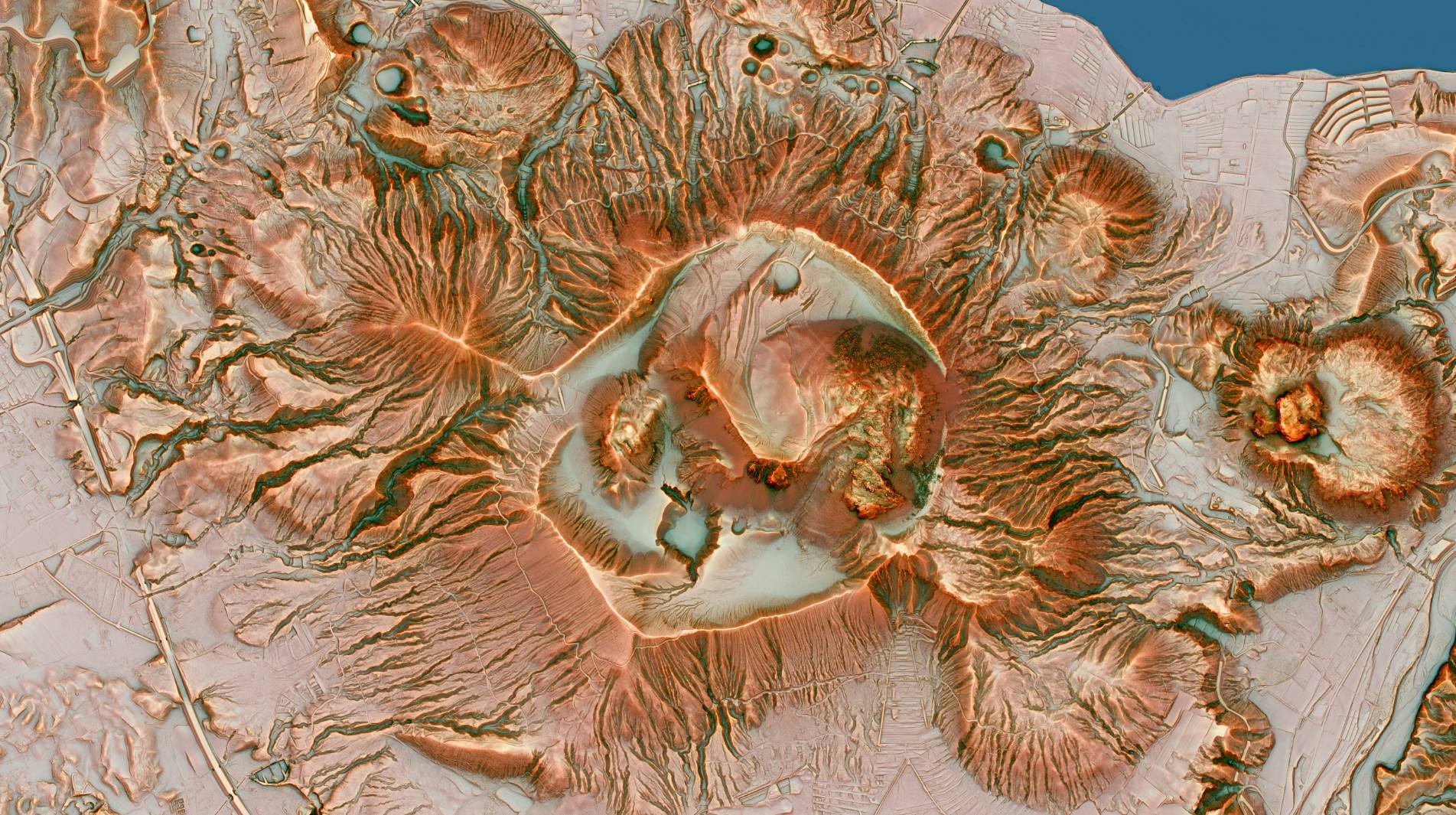
- Methods of terrain visualisation
- Thematic maps I, colours and scales in maps
- Thematic maps II
- History of cartography and state map work
- Map production process, data sources, INSPIRE, copyright
- Colour spaces and reproduction
Practicals
attendance required
 Mgr. Petra Justová, Ph.D.
 Ing. Josef Münzberger
 Ing. Jan Koudelka
- Introduction to ArcGIS, spatial data, data sources
- Map Projections in Detail
- Spatial Data, Geocoding
- Georeferencing, Vectorization
- Choropleth Maps 1
- Choropleth Maps 2
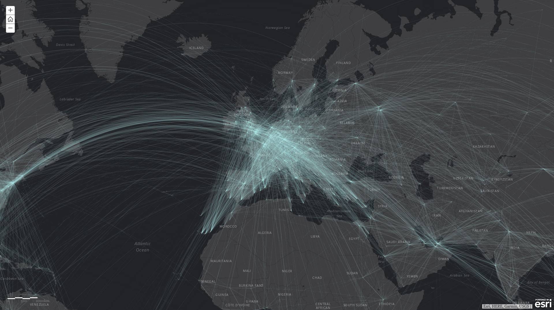
- Diagram Maps
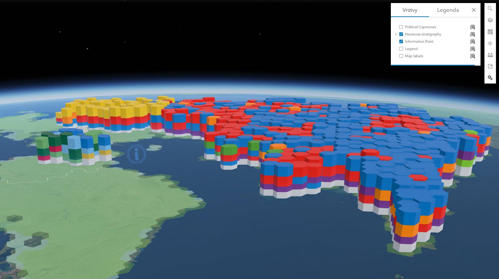
- Multivariate mapping
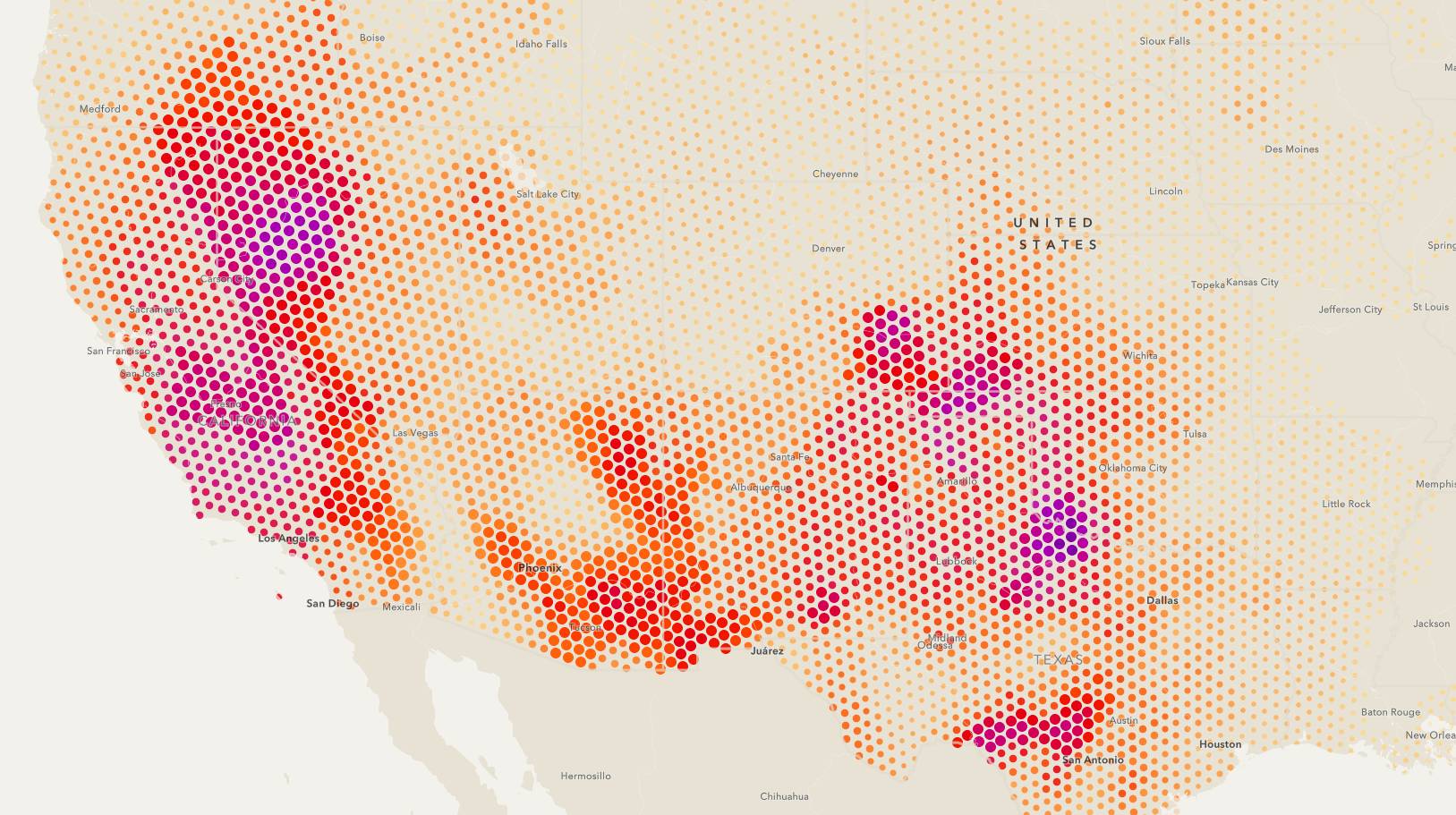
- Grid Maps, Data Binning
- Webmapping
Schedule (2026)
Up-to-date schedule is available on GeoWikiCZ
